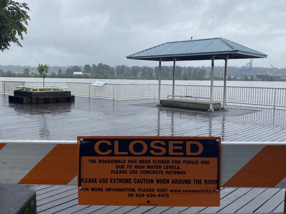
Rising sea levels and climate change are being factored into flood management plans being developed by the City of New Westminster.
City staff recently updated council about work that’s being done to assess the potential risk of high water during the spring freshet.
“It’s that time of year again where we are starting to look at the snowpacks and what those impacts might bring to us,” said Coun. Chuck Puchmayr.” I just have a couple of question with regards to flooding infrastructure, diking infrastructure in our city and in our catchment area. Where are we at? What deficiencies do we have? What kinds of infrastructure needs do we have from senior levels of government? Where are we with that?”
George Otieno, an infrastructure engineer with the city, said a number of things are happening with regards to flood management.
“At the regional level, the Fraser Basin Council has been developing a strategy for the past six years or so,” he said. “The goal of the regional strategy is to move towards a more consistent and collaborative approach across the region because, really, for the last 20 years, we have been more of a ‘do it your own’ – each municipality doing their own thing with flood management.”
Otieno said the goals of the regional strategy have been to develop a framework for prioritizing the most at-risk flood areas across the region, to develop a framework for making a decision in terms of which flood protection solution is most optimal, and to develop a sustainable governance and funding model in order to implement the regional strategy.
“One of the struggles we have had in New West is the funding issue, in that the dike projects are significantly costly,” he said.
For the past year or so, the City of New Westminster has been updating its flood management strategy, Otieno said.
“We have hired a consultant to update the flood management strategy that was developed in 2011 and was endorsed by council,” he said. “We have been working to update our dike design profile in order to take into consideration the impacts of climate change and sea level rise.”
According to Otieno, the city has approximately seven kilometres of completed standard dikes in Queensborough.
“Those dikes for the most part are sufficient to protect against water levels of a one-in-a-500-year freshet,” he said. “However, they don’t quite make the provincial standards because they don’t have enough freeboard.”
Provincial documents describe freeboard as the vertical allowance that’s added to the standard design flood levels to allow for uncertainties in flood levels. This factors could include long-term dike settlement, debris accumulation or conditions like winds and waves.
“In other areas across the city, the waterfront, the foreshore is high enough but it is not high enough to prevent against flooding from one-in-a-500-year freshet,” Otieno continued. “So really, the update to the flood management strategy will be looking at the dike design profile as well as taking into consideration the impacts of climate change and coming up with a strategy to implement diking in the future.”
Having seen the flooding that occurred in the Fraser Valley in late 2021, Puchmayr said there’s more reason than ever before for the federal government to be investing in diking infrastructure. While some planning work on diking/flooding has been happening at the Union of B.C. Municipalities and the Lower Mainland Local Government Association, he’s pleased that Metro Vancouver has formed a “well overdue” flood and diking committee
“I think Metro Vancouver is going to be a real asset in having that discussion. … I am pleased that there is a stronger voice on that,” he said. “I look forward to having some suggested solutions come out of there.”
Puchmayr said he was on Barnston Island when the Fraser River rapidly rose in late 2021. He questioned if that “extreme” experience provided any lessons to help the city prepare for the spring freshet and beyond.
According to Otieno, New Westminster and other neighbouring municipalities are typically more impacted by the spring freshet, but that’s something cities will have to keep an eye on in the future.
“Especially last year when we had the heat dome – if that had happened a month earlier we could have seen some impacts from that,” he said. “It’s really looking at the impact of climate change moving forward and knowing that we will probably have more of this intense weather events that will probably lead to a lot more rainfall, and potentially a lot more snow melt leading to more volumes coming down the river.”
Mayor Jonathan Cote said he’s looking forward to council having a broader conversation about flood management, and suggested the community could be engaged in that discussion.
“I know there is going to be some apprehension, not quite knowing the lay of the land when these incidents do come up and how much risk, and what areas are at risk and what the mitigation plans are,” he said. “There are other communities in the area that maybe are little better prepared, and we are better prepared than others. But I think having a good understanding of what the roadmap is to address our shortfalls, I think is definitely important to be able to have a good understanding and a plan.”


